Riverside East Panoramic Photos
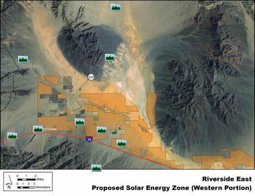
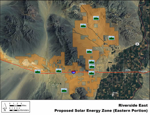
The Riverside East solar energy zone is presented in two parts, Riverside East (Western Portion) and Riverside East (Eastern Portion).
Click a photo icon on the map to view panoramic photographs of the solar energy zone. You may also right-click to save the photo to your computer. Note: Some distortion occurs in all photos, and other anomalies from photo processing are visible in some images.
Riverside East (west)
Riverside East SEZ (western portion)
(does not show non-development areas)
Riverside East (east)
Riverside East SEZ (eastern portion)
(does not show non-development areas)
|