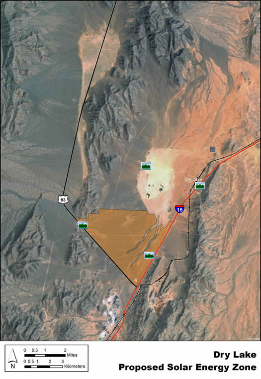
Dry Lake Panoramic Photos
Click a photo icon on the map to view panoramic photographs of the solar energy zone. You may also right-click to save the photo to your computer. Note: Some distortion occurs in all photos, and other anomalies from photo processing are visible in some images.
Dry Lake SEZ
(does not show non-development areas)
 "SW Corner" >
|