|
|
|
|
|
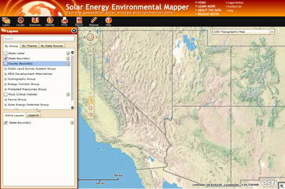
Solar Energy Environmental Mapper Web-Based GIS ApplicationView interactive web-based map of proposed alternatives and related information from the Draft Solar Energy Development Programmatic EIS. The Solar Energy Environmental Mapper is a web-based application to view map layers that were used to create the maps and conduct some analyses in the Solar PEIS. It displays the key layers used in the PEIS with the ability to zoom and pan to areas of interest, and display and query data. The application requires a web browser with Adobe Flash Player 10 (or higher) installed and is compatible with leading, current, web browsers. Who Should Use the Solar Energy Environmental Mapper and WhyThe Solar Energy Environmental Mapper provides all users with fast, easy access to a wide variety of spatial data through a Web browser, requiring only limited and generally quick map and software downloads. Unlike the other map products available on the PEIS website, the data content and capabilities of the Solar Energy Environmental Mapper will be expanded and improved over time, so it will provide the best access to updated, comprehensive data, and powerful analytical tools in an easy-to-use format. The Solar Energy Environmental Mapper requires an active Internet connection while in use, and does not give users access to downloadable spatial data. Expanded Content and Analytical ToolsThe solar energy zones (SEZs) and variance areas as described in the Final Solar PEIS are now included on the Solar Energy Environmental Mapper application. New features continue to be developed for the Solar Energy Environmental Mapper, including expanded data content and analytical tools that provide detailed reports of environmental resources present at user-designated potential project sites, based on available data. For more information and to subscribe to the email list, see the Solar Energy Environmental Mapper web site. |


